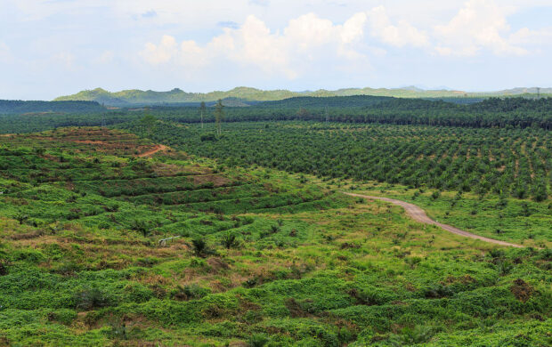
With our planet constantly facing environmental disasters such as floods and increasing wildfires or the effects of human activity such as rampant deforestation for development, governments, thinktanks, or even businesses need detailed data of these shifts to track changes and develop preventative measures rapidly. Land data in real-time has faced hurdles with variations in land types, terrains, urban developments, and government access.
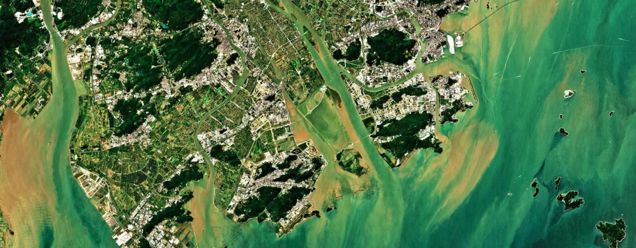
World Resources Insitute has partnered with Google Earth Engine to create the open-source data set, Dynamic World where scientists and policymakers can now access land cover data almost near time and monitor ecosystems with unprecedented detail.
So what?
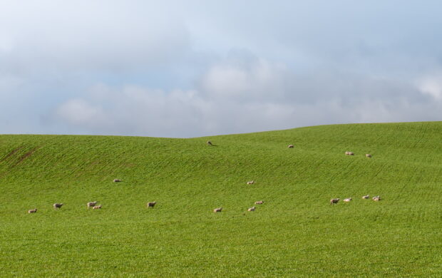
Existing datasets are limited by their categorization of singular land types or singular landscapes between cities or villages. This technology could help emphasize the dynamic nature of our current dwellings where the natural and man-made interact and influence each other. These connections could help public, private, and non-profit sectors to find more integrated approaches to restore and protect land health as unforeseen climate effects threaten areas.
Such real-time land monitoring could also play a role in supporting ethnographic efforts of understanding people’s relationship with the land and how this data could support ground efforts such as indigenous communities actively preserving their lands or how local communities are restoring ecosystems to build climate resiliency.









Join discussion