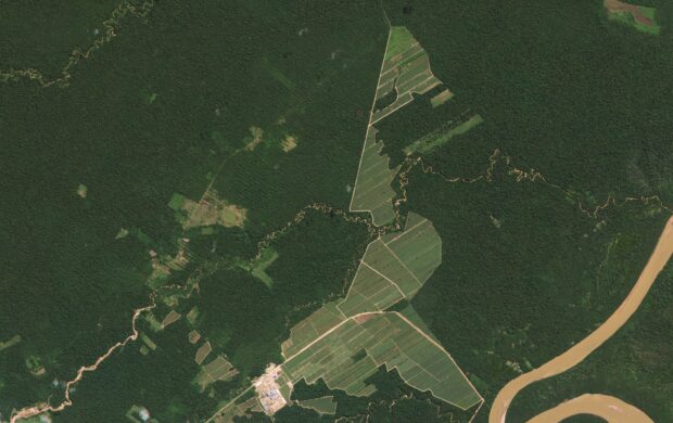
Using satellite data to recognise the extent of deforestation is nothing new, but recently there have been developments in the use of artificial intelligence to understand and predict the future of forests.
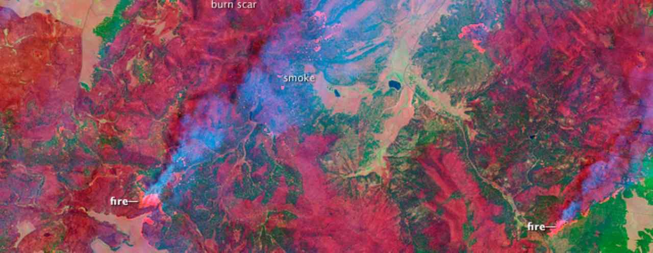
Orbital Insights is a start-up company that produces artificial intelligence systems which automate the identification and prediction of deforestation. In collaboration with the World Resource Institute (WRI), these systems can learn algorithms by analysing the satellite data provided by WRI to recognise risk factors leading to intense deforestation. Once the technology can recognise target areas, it can then correlate this data and make predictions about future deforestation patterns. This technology has previously been used to count vehicles in cark parks to predict retailer revenues.
These systems will help to understand the complex networks of land use change, production and produce transportation. They hope to use these information systems to add transparency to supply chains, relay evidence to law enforcement agencies and create protocols to improve overall business sustainability. The use of AI systems builds on previous WRI projects, which helped consumers track the origins of the products they consume such as Swedwood furniture, and highlighted the need for supply chain transparency.
Image Credit: NASA Goddard Space Flight Centre / Flickr


